Sidia is a education Platform website.


Course Description
This course provides an understanding of the history of drainage development in a particular area, especially in Indonesia. Definition, aims and objectives of drainage, network patterns and determining channel dimensions, hydrological analysis, regional rainfall (rainfall), Rain Intensity Curve, Practical ways to process rainfall intensity in forecasting flood discharge, watersheds, runoff, estimating peak flow rates and use of rational methods, use of the hydrograph method (HSS), flood prediction hydrographs, condition of the city of Surabaya, geographical position, topography, hydrology and land use, drainage system patterns, gravity flow, pump stations and average rainfall, special drainage, drainage , planning steps and use of planning criteria, technical flow aspects, basic hydraulic planning, basic concepts, conversion laws, flow, specific energy, depth of stable channel planning patterns, in-buildings in drainage and pump systems. This course discusses special drainage planning systems for roads, railways, ports and airports. The material to be studied is drainage networks, drainage facilities, and surface and subsurface drainage systems. Apart from that, drainage planning applications will be taught including hydrological and hydraulic analysis to determine the drainage capacity to be planned.
Program Objectives (PO)
- Mengembangkan diri secara berkelanjutan dan berkolaborasi.
- Memiliki ketakwaan kepada Tuhan YME, kemandirian, nasionalisme dan kepekaan sosial.
- Mampu menerapkan pemikiran logis, kritis, inovatif, bermutu dan terukur dalam mengidentifikasi, melaksanakan maupun mengevaluasi secara mandiri dan mengkoordinasikan kelompok untuk menyelesaikan permasalahan teknis dan non teknis serta mampu berkomunikasi secara lisan dan tulisan.
- Mampu menginternalisasi etika, norma dan hukum dalam menjalankan pekerjaan.
Aktifitas Pembelajaran
-
Pertemuan 1 Sejarah perkembangan drainase di suatu daerah tertentu khususnya di Indonesia -
Pertemuan 2 Tentang pengertian definisi maksud dan tujuan drainase -
Pertemuan 3 Tentang jenis/macam pola jaringan dan menentukan dimensi saluran. Analisis hidrologi dan uji konsistensi data hidrologi -
Pertemuan 4 Tentang hujan daerah (rainfall) kurve intensitas hujan cara praktis mengolah dan intensitas hujan prakiraan debit banjir DAS pengaruh karakteristis DAS tanaman hutan waduk sumur resapan terhadap banjir -
Pertemuan 5 Tentang limpasan (run off) faktor-faktor yang mengpengaruhi limpasan memperkirakan laju aliran puncak dan metode rasional -
Pertemuan 6 Tentang Metode Hidrograf (HSS) Hidrograf Hidrgraf Satuan dan ramalan banjir -
Pertemuan 7 Tentang meramal banjir unit hidrograf komponen yang membentuk hidrograf sungai kurve deplesi hidrograf sintetis dan routing kolam tandon -
Pertemuan 8 UTS -
Pertemuan 9 Tentang keadaaan Kota Surabaya Geografi Topografi Hidrologi dan tata guna lahan -
Pertemuan 10 Tentang keadaaan banjir Kota Surabaya banjir dari hulu banjir lokal Surabaya dan perkembangan kota kondisi saluran drainase yang ada serta banjir termasuk genangan -
Pertemuan 11 Tentang pola system drainase Aliran gravitasi stasiun hujan rumah pompa dan curah hujan rata-rata. -
Pertemuan 12 Tentang drainase khusus drainase lapangan udara kriteria perencanaan dan perancangan drainase lapangan terbang lapangan olahraga jalan raya dan penyehatan lingkungan -
Pertemuan 13 Tentang langkah-langkah perencanaaan kriteria perencanaan aspek aliran teknis contoh kerangka proposal Masterplan drainase -
Pertemuan 14 Tentang perencaaan hidrolika konsep dasar hukum konversi aliran permanen aspek permanen seragam (steady uniform flow) bentuk saluran yang ekonomis -
Pertemuan 15 Tentang energy spesifik kedalaman kritis aliran berubah lambat laun (gardually varied flow) perencanaan saluran stabil bangunan-bangunan dalam system saluran drainase dan pompa -
Pertemuan 16 UAS
Lecturer

Difficult Things About Education.
$75$10
More Similar Courses
Related Courses

Protestant Religious Education
Protestant Christian Religious Education is a course that teaches the use of the Bible as a basis for faith/belief in the existence of the Triune
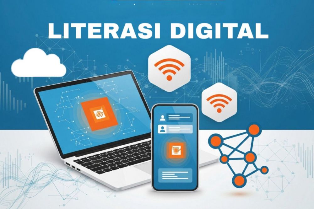
Literasi Digital
The Digital Literacy course is a general compulsory course (MKWU) for all Surabaya State University students which is presented in the first year of study.

Ergonomics
Matakuliah Ergonomi pada jenjang D4 program studi Teknik Mesin bertujuan untuk memberikan pemahaman tentang prinsip-prinsip ergonomi dalam desain produk dan lingkungan kerja. Mata kuliah ini
Copyright © 2026 Sinau Digital UNESA All Rights Reserved